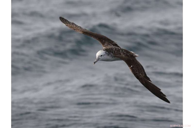
A streaked shearwater flying over the sea. Credit: Yusuke Goto
(Phys.org)—A trio of researchers with the University of Tokyo and Nagoya University, both in Japan, has developed what they describe as a new model for use in the study of animal decision making. In their paper uploaded to the open-access site Science Advances, the group describes their study of navigation by birds flying over the ocean and the development of their model.
As the authors note, previous efforts to understand how birds are able to navigate over long distances and over oceans have relied on capturing specimens and attaching devices that take bio-measurements of the birds in flight. This approach, they also note, is quite demanding, because it requires studying data after the bird is recaptured; additionally, the data is of use in only a few applications. In this new effort, they took another approach.
Instead of attaching bio-sensors to test birds, the team instead attached GPS devices to 33 Calonectris leucomelas – migrating seabirds, which allowed for monitoring the birds' progress in near real time as they made their way across the ocean. The plan was to note how the birds reacted to winds that forced them from a direct route to their destination.
The researchers report that the birds would reorient themselves in ways that did not always point them directly at their destination, which was a necessary means of adjusting their position relative to how much wind they encountered from one side or the other. This, they suggest, indicates that the birds have some means of creating a global map that they follow to reach their destination. It also suggests, the team notes, a general model for use in studying animal orientation under flow conditions—one that is relatively simple to use because it uses only GPS. It could be used for studying the behavior of other birds, they point out, or even fish.
In gathering GPS data from multiple moving entities, the researchers also found that they could use the data in other ways—to monitor wind speed for a region, for example. Using the technique could lead to better weather forecasting, they note, or it could be useful in conservation efforts to measure changes in currents or wind conditions.
© 2017 Phys.org