Credit: contains modified Copernicus Sentinel data (2016), processed by ESA
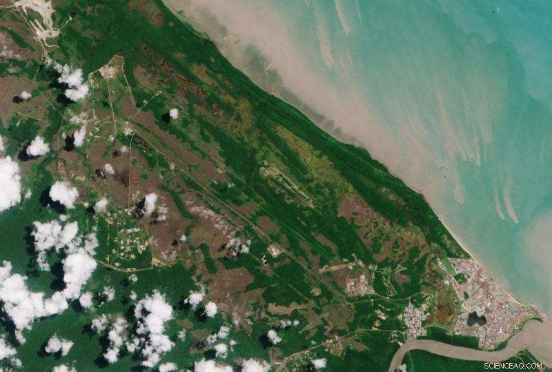
The Copernicus Sentinel-2A satellite takes us over Kourou in French Guiana, with the main town of the same name visible in the lower right.
The Sentinel-2B satellite is currently poised on top of a Vega rocket on the launch pad (upper left) about 15 km northwest of the main town, and is set for launch on 7 March 2017 at 01:49 GMT (02:49 CET).
The launch site at Kourou lies just over 500 km north of the equator and often sits under clouds. While cloudy skies may not prevent a launch, it does affect our view of the pad. The more recent passes over this area by Sentinel-2A were cloudy; this image was captured on 20 August 2016.
Once Sentinel-2B is in orbit, the two satellites will cover the entire planet between latitudes 84°S and 84°N every five days, increasing the chance of cloud-free imagery.